Windy Integration

Modified on Fri, 20 Nov at 1:15 PM

Windy

Integration Guide

Windy Integration

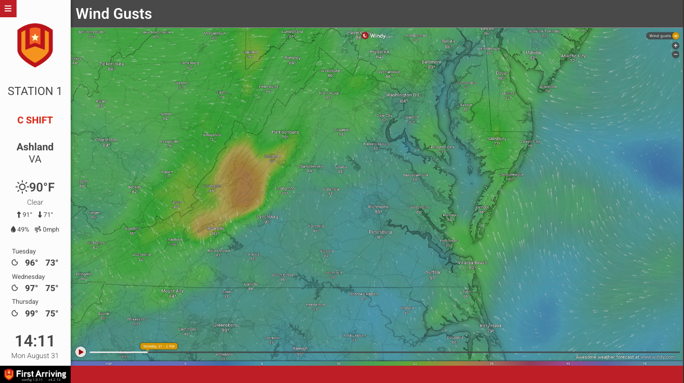
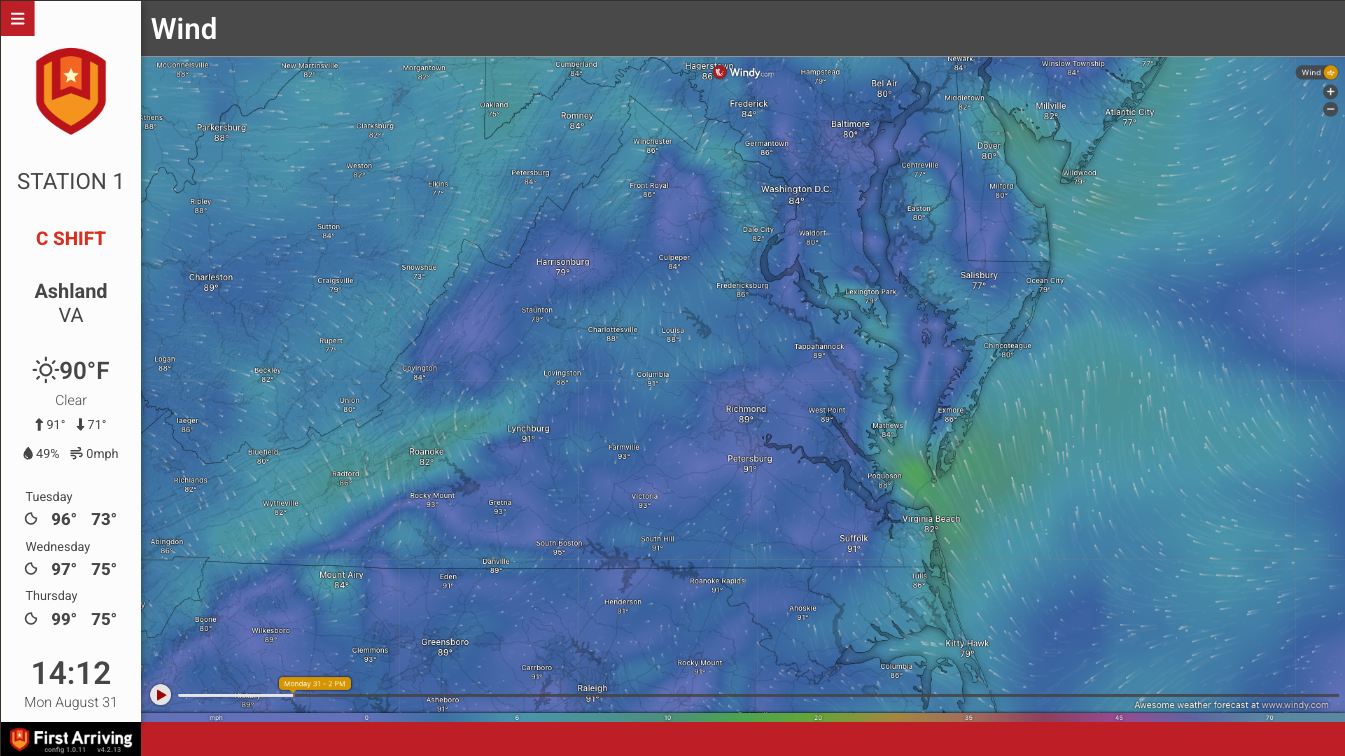
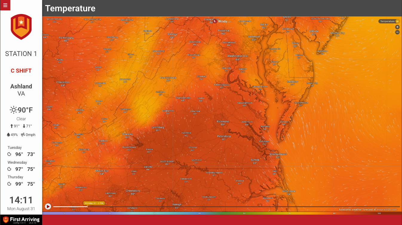
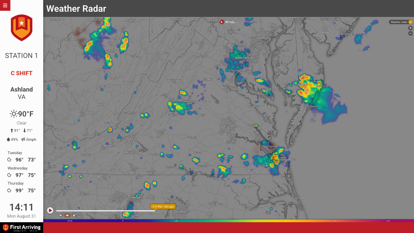
Put a live, interactive Windy weather map on your station screens, with wind streaming over the map, live radar and temperature shading across your response area, so crews can read developing weather without opening a browser. Each map shows one layer at a time. If you want several layers, we add a page for each one and they rotate through with the rest of your board.

What we can put on your dashboard

Map layers (one per page)

  • Base wind
  • Satellite
  • Temperature
  • Radar
  • Clouds
  • Icing Severity
  • Waves

What we need from you

1

Open a support ticket

Open a ticket at our support center and ask us to add a Windy map to your board.

2

Tell us which layers you want

List the layer or layers to display: Base wind, Satellite, Temperature, Radar, Clouds, Icing Severity or Waves. We add one page per layer, and the pages rotate with the rest of your board.

3

Specify centering and zoom (optional)

By default we center the map on your station location. If you'd like it centered somewhere else, say so in the ticket, or send screenshots showing the centering and zoom level you want.

Example screens

Windy on a First Arriving dashboard

Questions about setup, or want to add another layer or change where your map is centered? Open a ticket at our support center or reach us at dashboards@firstarriving.com.